Measuring Impact
Imagine weighing trees - from space! It sounds futuristic, but that’s essentially what Chloris Geospatial does: delivering scientifically validated biomass estimates using satellite data and AI.
Why biomass matters
Weight (not count or area) is key to understanding carbon impact. Biomass reflects how much carbon trees absorb as they grow and release when lost. Remote sensing now enables large-scale, accurate monitoring of these dynamics.
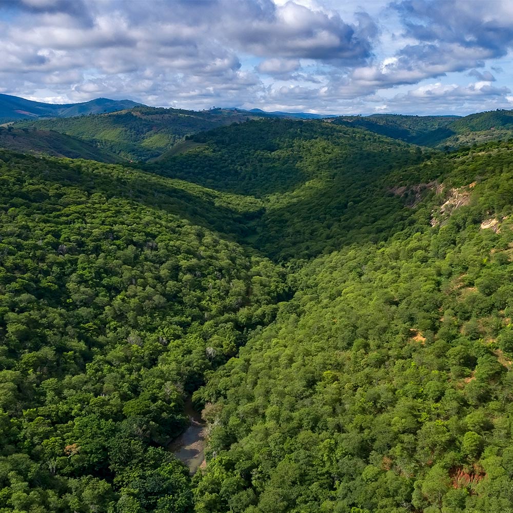
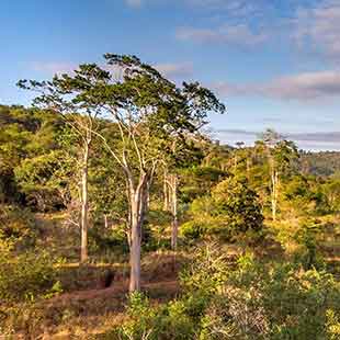
Tracking biomass changes across landscapes, from farms to jurisdictions, offers new insights into the effectiveness of forest conservation and restoration efforts.
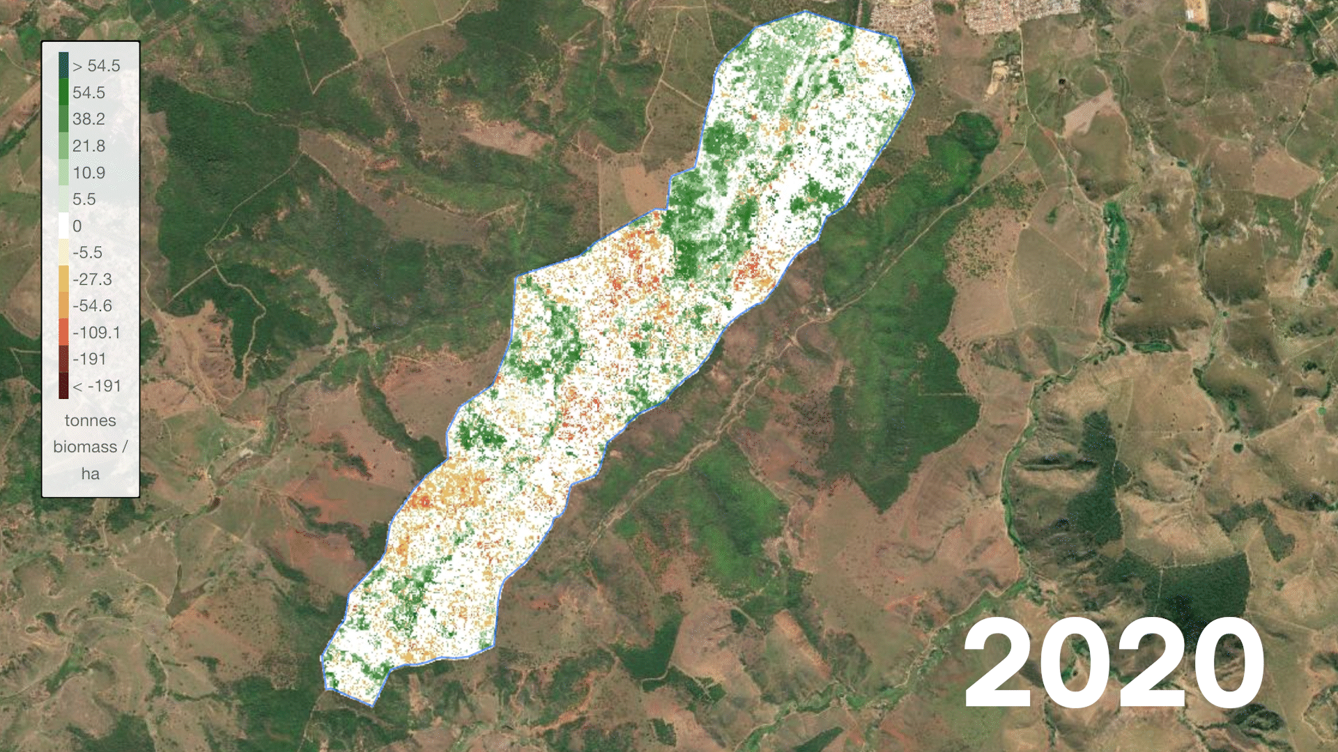
This time-lapse shows the biomass development at Instituto Terra – capturing the progress since Zurich began its collaboration in 2020
A new era of forest monitoring
New spaceborne sensors and machine learning are transforming the way we can understand forest carbon dynamics. It is now possible to directly measure, verify and report on forest biomass from space.
Chloris Geospatial is a science-driven remote sensing company that specializes in tracking forest carbon change over time. Its global biomass change product directly quantifies annual shifts in terrestrial carbon storage across supply regions, detecting deforestation, degradation, and regrowth.
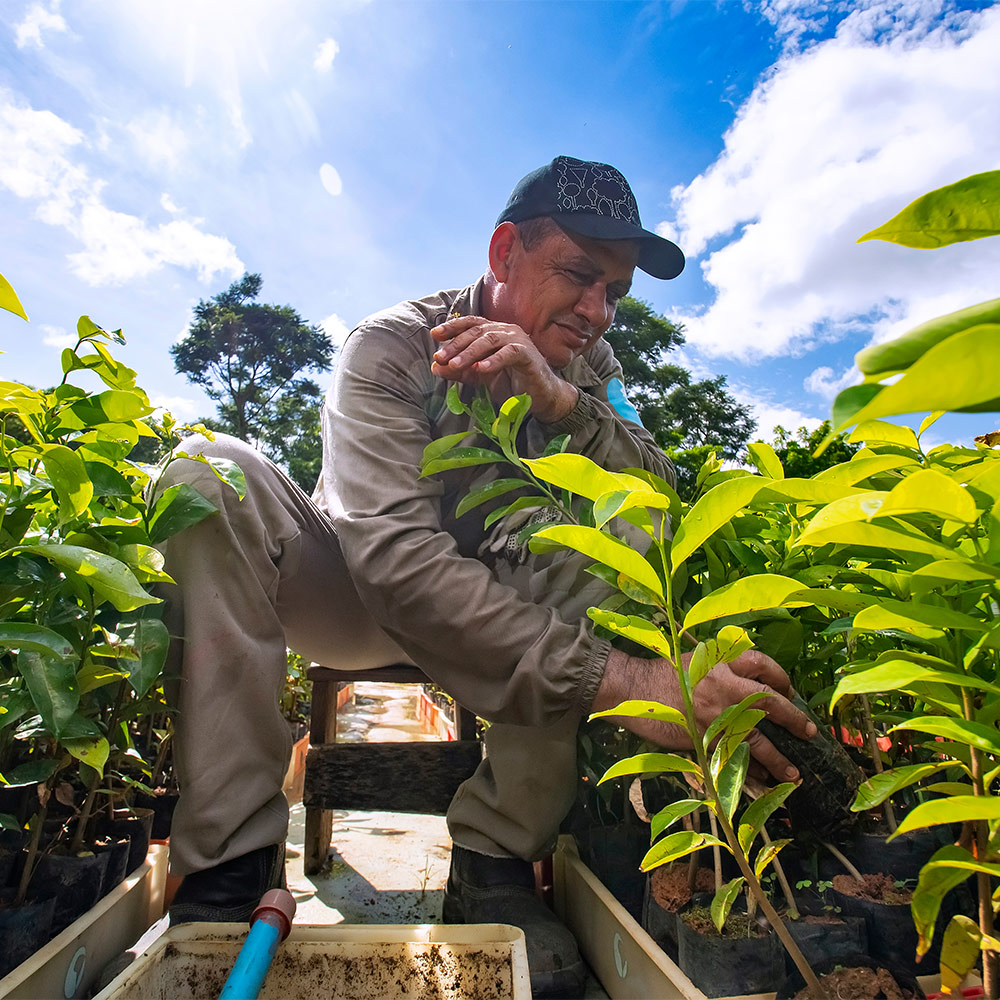
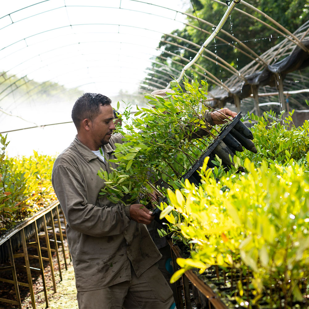
Why this matters for the Zurich Forest project
Chloris Geospatial’s approach provides a powerful way to monitor and validate the forest’s development and climate impact over time. We are not claiming any carbon credits (or carbon removals) from our collaboration with Instituto Terra, but by measuring biomass changes directly, we aim to transparently demonstrate the impact of our engagement.